Our Services
If you have never heard of GIS (Geographic Information Systems), think of your GPS (Global Positioning System) in your vehicle. GIS provides the necessary information for the GPS to direct you to your destination. A good GIS will not be noticeable but will be able to provide you with quick and accurate decisions.
The GRADD GIS Department was created to provide cost-effective access to GIS services to local and private entities within its district. GIS can be used in most project implementation and can provide organizations with the necessary tools and information to assist in the decision making process. GRADD provides a variety of services and will work with organizations to provide a customer-oriented product.
Here are a few GIS/GPS services GRADD provides:
- Precision GPS collection
- Developing custom Geographic Information Systems
- Data mining and Geographic Analysis
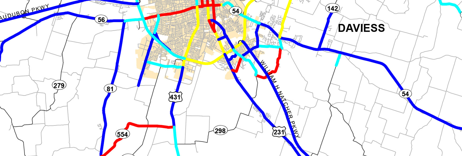
- Map Production and Printing
- Demographic overlays
Statewide Projects
The Kentucky Area Development Districts provide State Agencies with high quality statewide data collection and maintenance:
Statewide Road Centerlines – GRADD collects precision GPS road centerlines for the Kentucky Transportation Cabinet and we provide periodic updates to keep the database current.
Statewide Water and Sewer Data – We contributed to the development of the statewide geo-database of water and sewer lines for the Kentucky Infrastructure Authority. This database is used by the Authority and the Kentucky legislature to prioritize new construction. The geo-database has an inventory of existing infrastructure as well as proposed water and wastewater infrastructure for the entire state of Kentucky. These databases are continually being updated.
Statewide Address Ranges – GRADD is assisting counties within its district in providing accurate address ranges on road data. This data provides the capabilities for 911 systems to accurately identify locations for quicker response times.
Local Projects
GRADD works daily in assisting its local governments. Below are some recent projects:
- E-911 data management
- School redistricting
- Floodplain mapping
- Structure point GPS collection
- Water/Sewer GPS collection
- Hard copy map digitization
- Parks and Recreation features
- Digital Published Maps
Private Projects
- Census Demographic Analysis
- Route Planning and Analysis
- Hunting and Fishing Topographic Maps
- Real Estate Maps
- Event/Direction Maps
